01Filming
One continuous take from start to finish. The camera splits a long ride into several files on its own, sometimes with real gaps between them.
02The track
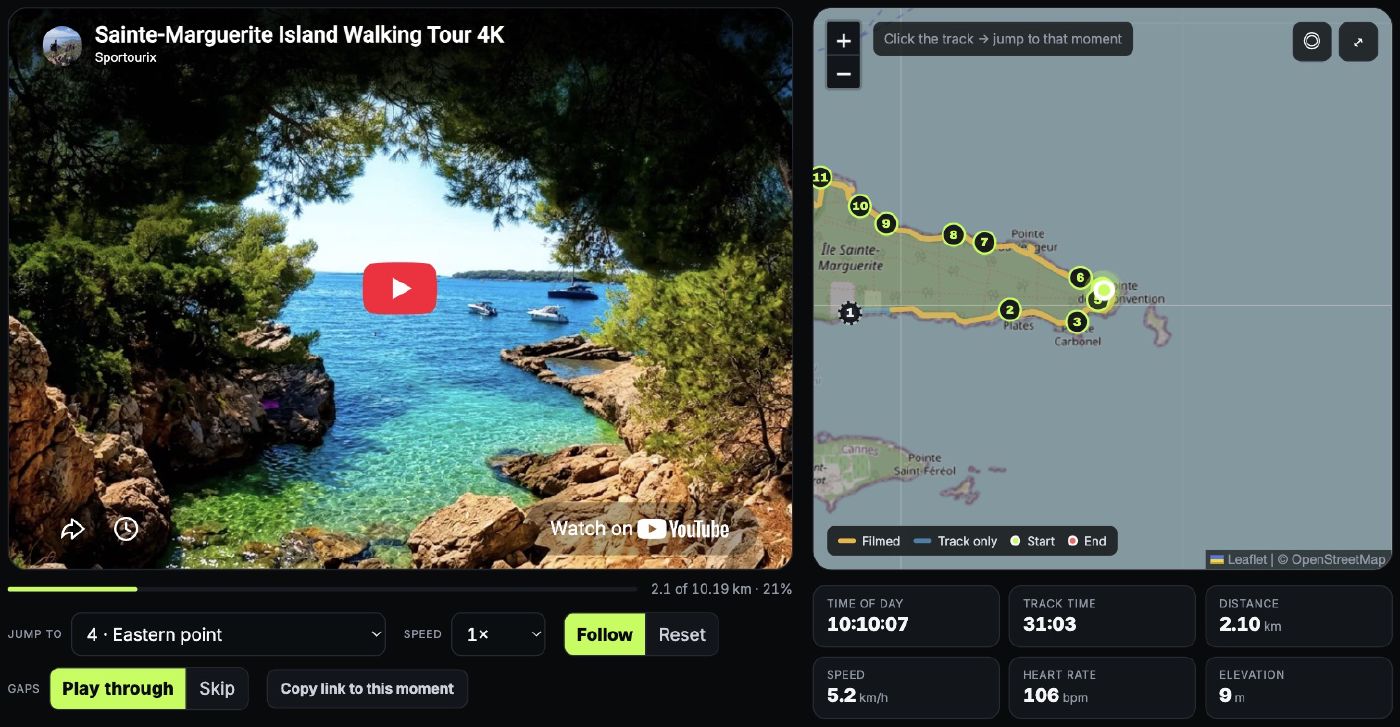
A watch records position, elevation, heart rate and speed once per second — independently of the camera, with its own clock.
03Sync
Clips are joined without re-encoding. Each one keeps the wall-clock time it started at, and that timestamp is what ties every frame to a point on the map.
About the numbers
Distance, elevation and heart rate come from the watch, untouched. Ascent is smoothed over
a short window before it is summed, because a barometer left raw inflates the total by
counting its own noise. Average speed is computed over moving time only, so standing still
does not drag it toward zero.
The camera clock is the single assumption in the chain: it is read from the file names and
taken to be local time. Every route page exposes a time-zone field and an offset, so a clock
that was set wrong can be corrected without rebuilding anything.
Sportourix is a one-person project, and it started with an ordinary habit: walking, cycling and hiking wherever a trip happens to land, then wanting to remember a route the way it really was rather than as a line on a map. The camera and the watch simply came along.
Publishing the routes is the practical part. Before a trip you usually have a map, a few photos and someone else’s rating, which is not much to plan a day on. A full route with the map beside it answers the questions that actually matter: how long the climb is and where it starts, whether there is shade, how far the path stays from the water, where the camera was switched off and why, what a pace of 4 km/h means on this ground. You can scrub to the part you are unsure about, check the heart rate and the gradient there, and decide with something better than a guess.